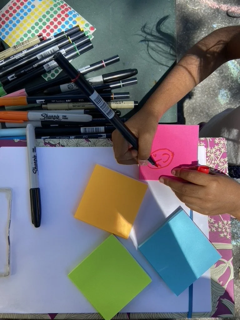
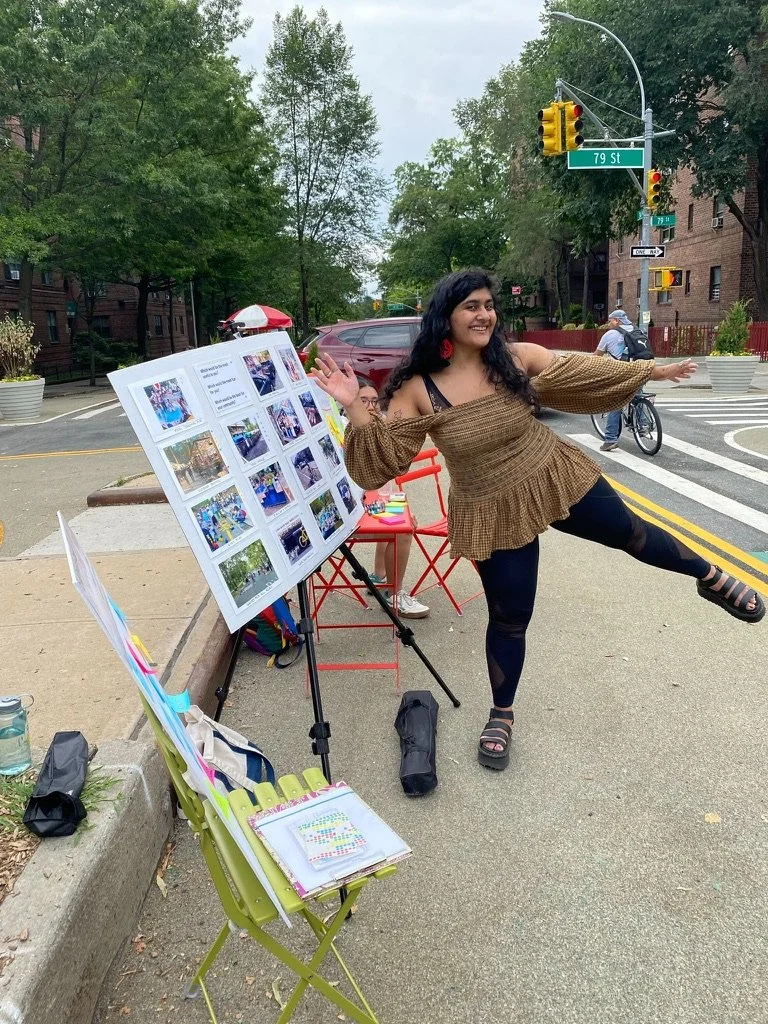
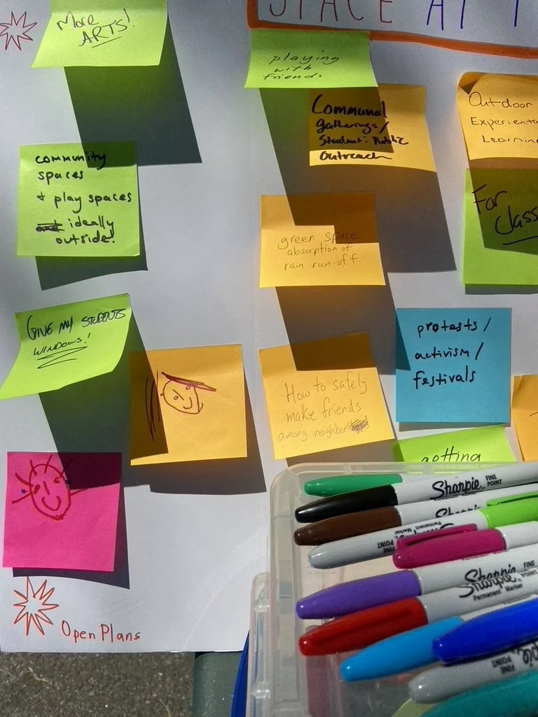
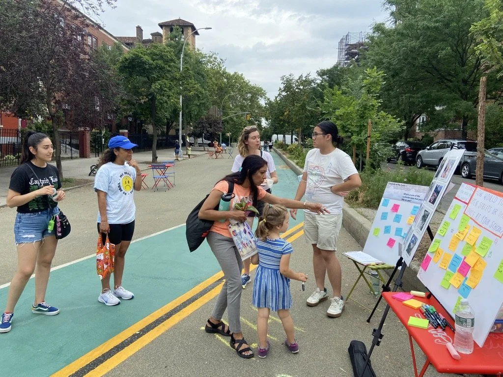
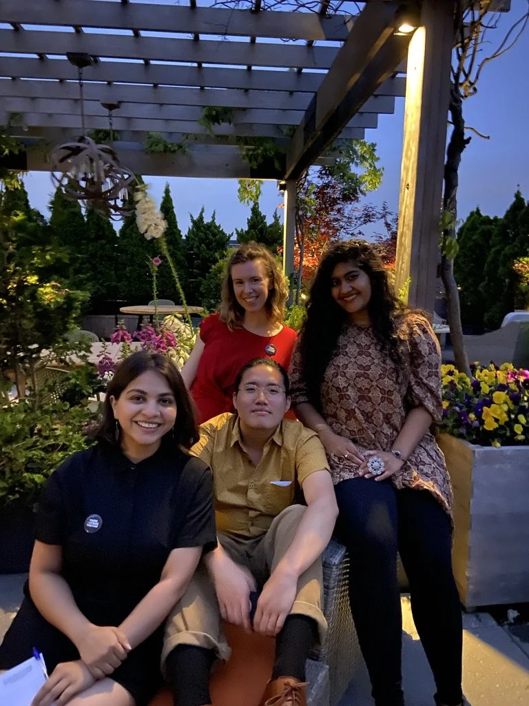
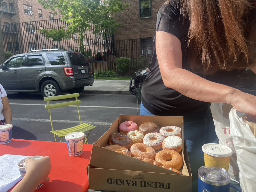
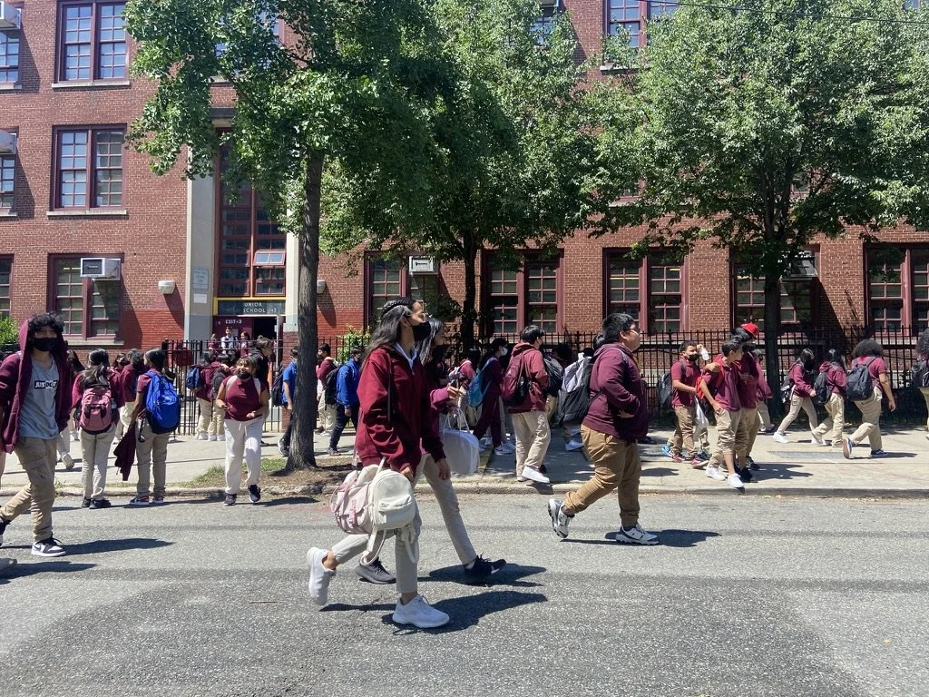
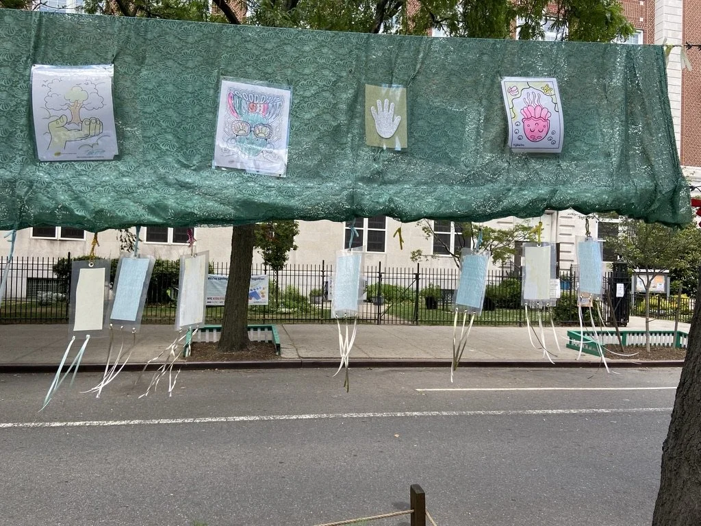
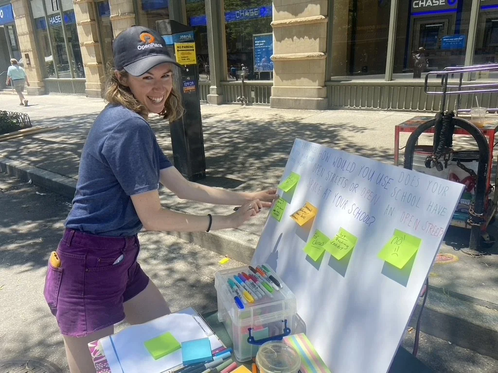
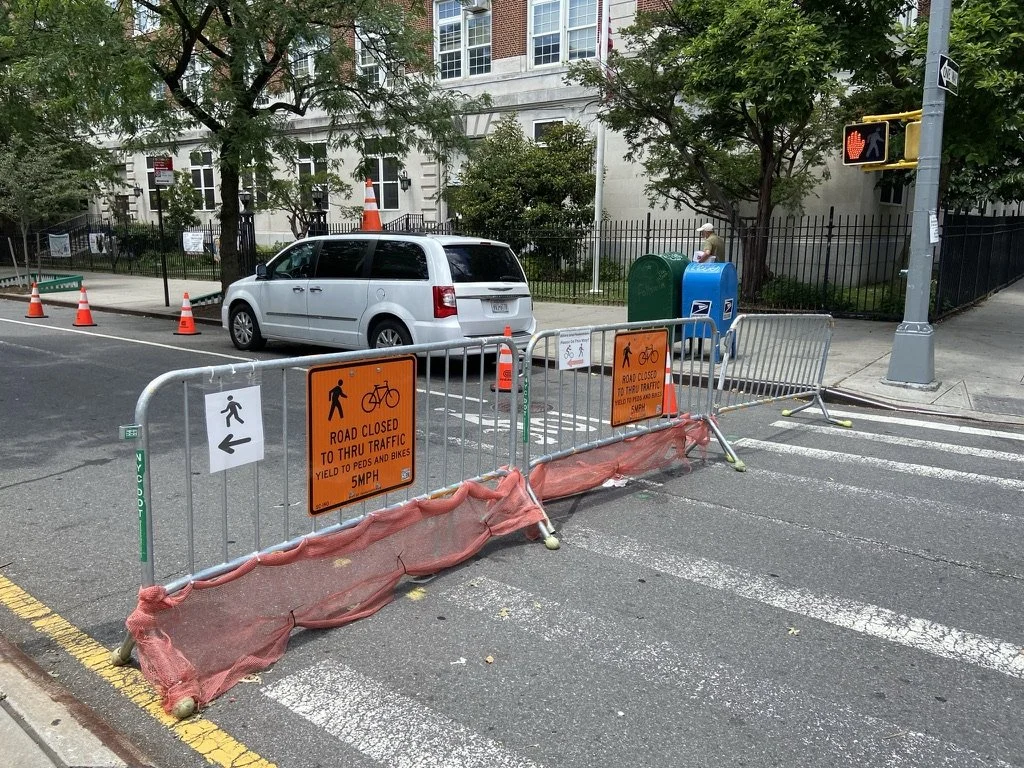
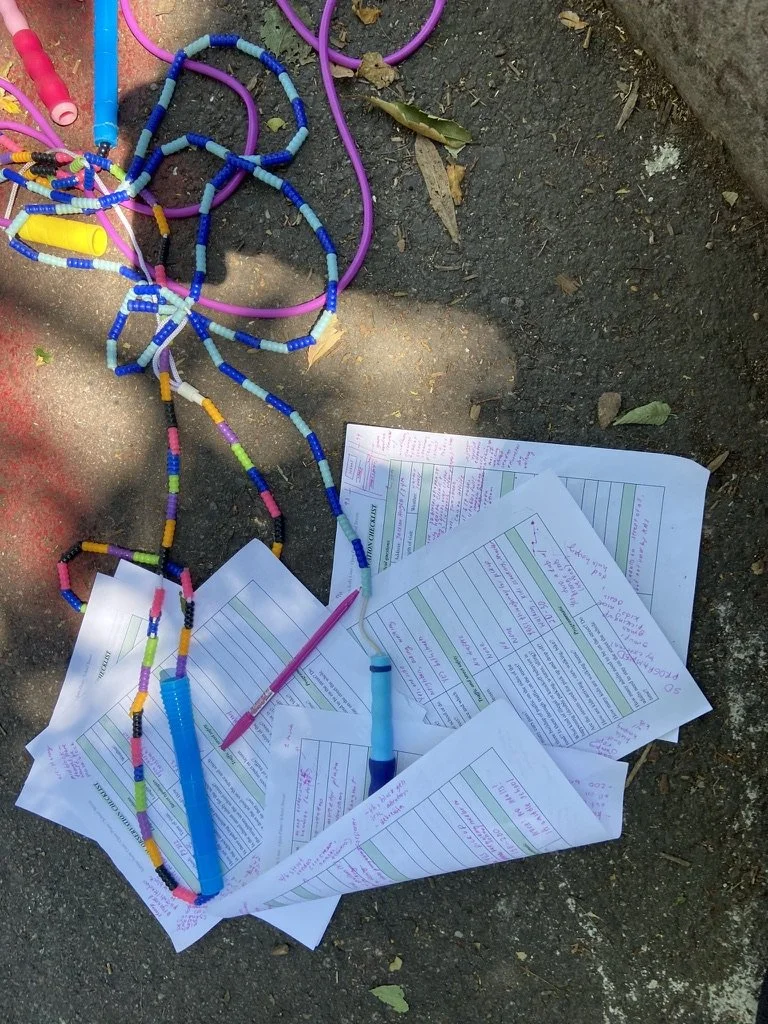
Community visioning with elementary schoolers at PS 129 in College Point, Queens. Photo: Ghuncha Shaheed.
I work as an urban planner for the NYC based nonprofit Open Plans, an organization that creates public spaces in NYC, through advocacy, legislation, and organizing (that’s what I do!). I provide technical assistance and outreach to schools across the city to learn about, apply for, and program school streets, and have helped 22 schools apply for the program - particularly in primarily low-income, POC schools that lack public space or other traffic calming mechanisms. I prioritize outerborough neighborhoods, where outreach is often difficult and contentious, helping schools in neighborhoods like Queens Village, Hollis, Belmont, College Point, Jamaica, Washington Heights, Midwood, and more. Most excitingly, I host community visioning and block parties with schools - as a strategy for garnering community-buy in, ensuring that neighbors comply with the site plan, and showing schools a proof of concept of how streets can be transformed - where we invite hyperlocal community based organizations, civic associations, cumbia dancers, and more to join. Check out videos of my block parties at IS 528 in Washington Heights (where we were joined by DOT Commissioner Rodriguez), PS 129 in College Point, and PS 118 in Park Slope.
I’ve been interviewed (click all links to be redirected) about my work for the New York Times, AM-NY, Momentum Mag, Distilled Earth, Transportation Alternatives, Streetsblog, the Office of the Mayor, Open Plans, and the Rockaway Wave - and I’ve presented at International Placemaking Week, for grad students at Pratt University, and more. Much of this coverage is about the school streets Toolkit that I co-wrote with Transportation Alternatives.
Fun fact: I started as a graduate intern, where I wrote a report about DOT’s open streets for schools program (see here!) - particularly the spatial inequities of the program and barriers to entry in the application process. For this, I interviewed school admin and parents, observed school streets in operation, and used ArcGIS for spatial analysis. In a full circle moment, this summer, I directly supervised two graduate summer interns and a graduate capstone student.


